

Find the right SiteVision subscription for you
Trimble SiteVision Universal Subscription
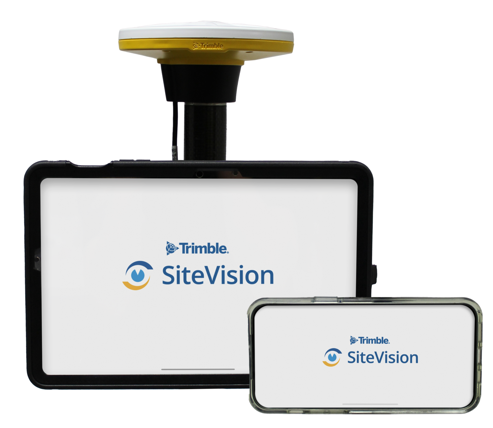
Works with the Catalyst DA2 receiver or the SiteVision Integrated Positioning System
- Trimble Catalyst for SiteVision
Software based centimeter accuracy GNSS receiver on your device - Trimble Connect Business
Data management and collaboration
Monthly
Annual
Trimble SiteVision Mobile Subscription
Works alongside a separate Catalyst subscription

- Trimble Connect Business
Data management and collaboration
Monthly
Annual
Trimble SiteVision Specifications
| Hardware | Trimble SiteVision Integrated Positioning System Download Specs | Trimble SiteVision for Trimble DA2 |
|---|---|---|
| GNSS receivers | Trimble Catalyst DA1 Antenna | Trimble Catalyst DA2 GNSS System |
| GNSS position accuracy | Hz: 1 cm + 1 ppm RMS | Vt: 2 cm + 1 ppm RMS In Trimble RTX technology coverage: Typically 10 – 20 cm in North America and Western Europe Typically less than 50cm in the rest of the world |
Hz: 1 cm + 1ppm RMS | Vt: 2cm + 1ppm RMS Multi-frequency (L1/L2/L5 GNSS, GLONASS)In Trimble RTX technology coverage: Hz: 2cm RMS | Vt: 5cm RMS |
| GNSS constellations | GPS, GLONASS, Galileo, QZSS, SBAS, L-Band Satellite Corrections | GPS L1,L2C, L5, GLONASS, L1C/A, L2C/A, Galileo E1, E5A, QZSS L1C/A, L2C, L5, Beidou B1, B2A, SBAS L1C/A, L2C, L5, NavIC (IRNSS) L5, L-Band Satellite Corrections |
| Supported correction formats | RTCM 3.0, RTCM 3.1, RTCM 3.2, CMRx | RTCM 3.0, RTCM 3.1, RTCM 3.2, CMRx |
| EDM/AR position accuracy | Typical Hz: <20 cm rms at 10 m | Vt: <10 cm rms at 10 m (varies by phone model) | – |
| EDM distance measurement accuracy | Typically ± 3 mm at -10 °C to +50 °C | – |
| EDM distance measurement range | Typically 0.3 m – 25 m to fresh asphalt | Up to 100 m to white walls | – |
| EDM measuring time | 0.1-4 seconds depending on surface, range & brightness | – |
| Power management | Swappable batteries ~ 2.5 – 3 hours per battery (varies by phone model) | Customer supplied USB battery pack. Operating hours depend on pack selected. |
| Dimensions | Diameter: 135 mm | Height: 285 mm | Diameter: 128 mm | Height: 55 mm |
| Recommended devices | Samsung S20+, Samsung S10+, Samsung S9+, Samsung Note 9, Samsung Note 8, Google Pixel 4 XL | Latest iPad Pro & iPhone Pro (with LiDAR sensors) |
| Minimum Operating System requirement | Android™ 9 | Android™ 9, iOS 13.0 or higher |
| Screen area | Typically 100-110 cm2 phone | Supports tablets typically up to 600 cm2 |
| Weight | <800gms (1.8 lbs) SiteVision Integrated Positioning System with Samsung S20 Plus |
GNSS 330gms (11.6 oz) + pole or handle and weight of user’s device |
| Operating temperature | Typically -10°C to +35°C, (14°F to +95°F) varies by phone model | Typically -10°C to +35°C, (14°F to +95°F) varies by phone/tablet model. GNSS operating temperature is -20°C to +60°C, (-4°F to +140°F) |
| Storage temperature range | -20°C to +70°C (-4°F to +158°F) | GNSS -40°C to +70°C (-40°F to +158°F). Phone varies by manufacturer |
| Humidity | 95% non condensing | 95% non-condensing |
| Ingress Protection | IP65 | IP65 |
| Drop | Drop 1.2 m (4’) | Drop 1.2 m (4’) |
| User interface | LED for power on, Bluetooth connection status, low battery warning | LED for Bluetooth connection status |
| Software | |
|---|---|
| Model placement | Automatic with Georeferenced data | Measured (cm) | Manual | Marker |
| Supported formats | Trimble: TRB, VCL, TTM, TMAP, SKP, Tekla Open Source & Industry: IFC, LandXML, SHP, GDB, DWG, DXF, DGN, WFS, NWC, NWD, RVT, PDF |
| Connectivity (model data) | Cellular or Wi-Fi |
| Connectivity (correction data) | Cellular or Wi-Fi L-band satellite for remote operations |
| Data interpretation | User defined rules & 3D symbols |
| Measurement and recording functions | Georeferenced photo, ToDo’s, Tasks, Points, Area, Grade, Distance, Cut/Fill |
| Measurement methods | GNSS, EDM*, AR Model Measurement |
| Measurement modes | Model point to model point | Ground point to model point | Ground point to ground point |
* Applies only to iOS devices with LiDAR, or the Trimble SiteVision Integrated Positioning System