
Confidence in your data
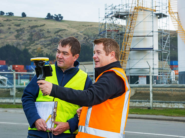
From communicating boundary locations to clients on-site to undertaking quick site measure ups, SiteVision’s AR capabilities simplify communication and reporting. With direct access to property and utility service databases through the WFS interface, Surveyors can access existing information on-site, minimizing data preparation time, and have confidence that they are accessing the latest available information. When undertaking site measure ups, SiteVision helps you visualize points or surfaces as you measure or that you have previously measured in the field, and inspect the integrity of your data in the real world. When inspecting and checking construction works or conducting as-built surveys, SiteVision helps you find and communicate discrepancies between designs and the current site.
Real-time data, real-time collaboration
A picture is worth a thousand words - Demonstrate to your team and external stakeholders with an interactive view. SiteVision’s information visualization capabilities make it easy to demonstrate your proposed designs — and preferred alternatives — at every phase of a project.
Features that work for you
Data Support
Accurately georeference your fully attributed and constructible models from Trimble Business Center (VCL and TTM) using your existing site calibration. Supports third-party design data in LandXML and DWG formats, including shapefiles (SHP) for all your subsurface utility data from Esri databases. Directly connect to GIS databases of property boundaries and underground services using the WFS interface.
Visualization Tools
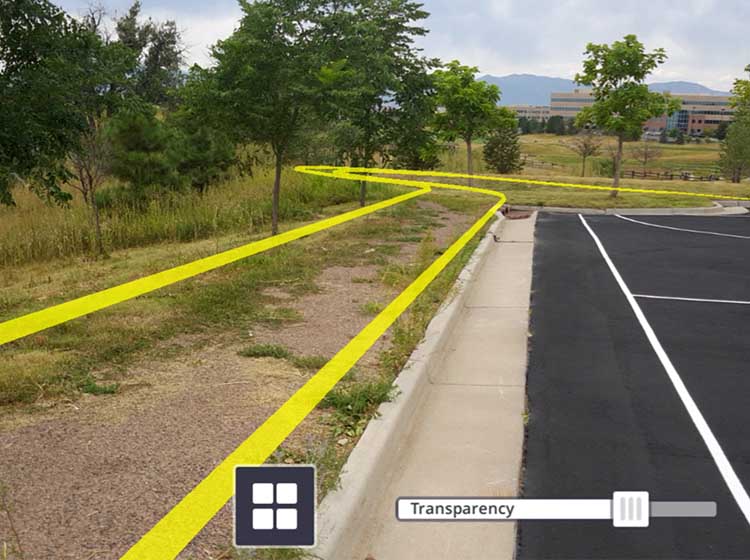
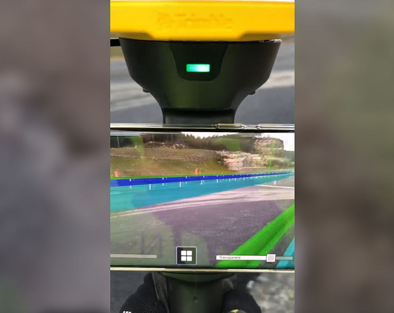
Selectively view every element of the constructible model from subgrade to finished surface, with all of the associated services using the layer viewing controls. Compare the designs with the current site by adjusting the transparency. Enable Pit View for a better perspective of the depth-accurate subsurface looks at utilities, in true 1:1 scale.
Cloud Connection
Your crew gets easy access to the latest approved design revision via Trimble Connect direct to your field device. Measurements and reporting are automatically sent back through Trimble Connect for simplified data management.
Reporting
Capture augmented reality photos, quick measurements and notes to create tasks, report on project status and request clarifications; and then share or assign them to project members, all in real time from the field.
3D Modeling
Place Sketchup models as you pick up data during your topographical survey. Instead of seeing a point when you are mapping an object, such as a manhole, place a model of a manhole and get visual verification that you have captured the data correctly.
Measure
Accurately measure points, lengths, areas, and volumes. See the data and the measurement results for a visual check to ensure you have accurately captured sufficient data.
See what our customers are saying with #TrimbleSiteVision

SiteVision integrates with all your existing tools
SiteVision integrates with data from Trimble Business Center, Autodesk® Civil 3D®, OpenRoads™, Trimble NovaPoint, and GIS systems like Esri® ArcGIS® so you can use your favorite 3D modeling software, GIS databases, and office tools for visualization and client/contractor engagement.
See what you can do with Trimble SiteVision

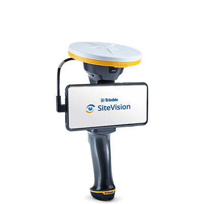
Trimble SiteVision
- High Accuracy Position and orientation
- Works with Trimble Business Center or your GIS database, Earthworks and Siteworks
- Remote electronic distance measurements*
- Trimble Connect Integration
*Applies only to iOS devices with LiDAR, or the Trimble SiteVision Integrated Positioning System with Android smartphones