
On site, in context & on the dot
Whether you’re communicating new designs, changes to field crews, designing temporary works, doing inspections, determining construction productivity, checking grade or recording quick as-built measurements on-site, SiteVision makes understanding the project simple at every step of the process. You can view and share existing designs at any phase of construction or create simple in-field designs in a real-world context at 1:1 scale.
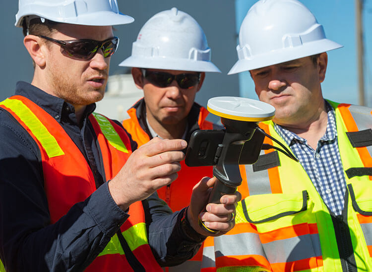
SiteVision plays a key role in all stages of the construction life cycle: planning and initial visualization, checking and measuring progress and identifying issues to reduce cost and increase efficiency. From concept to completion, high-accuracy GNSS and remote distance measurement* capabilities enable you to quickly and confidently direct operations right from your mobile device.
Ready for real-time reporting?
With real-time reporting from the field to the office, you can eliminate delays with instant change order requests to more efficiently manage costs and minimize safety hazards. Just capture a geolocated augmented reality photo of a problem area showing the design in the context of the actual site conditions and send it as a traced, actionable request for change.
Features that Work for You
Data Support
Accurately georeference your fully attributed and constructible models from Trimble Business Center (VCL and TTM) using your existing site calibration. Supports third-party design data in LandXML and DWG formats, and shapefiles (SHP) for all your sub-surface utility data from Utility GIS systems. Directly connect to GIS databases of property boundaries and underground services using the WFS interface.
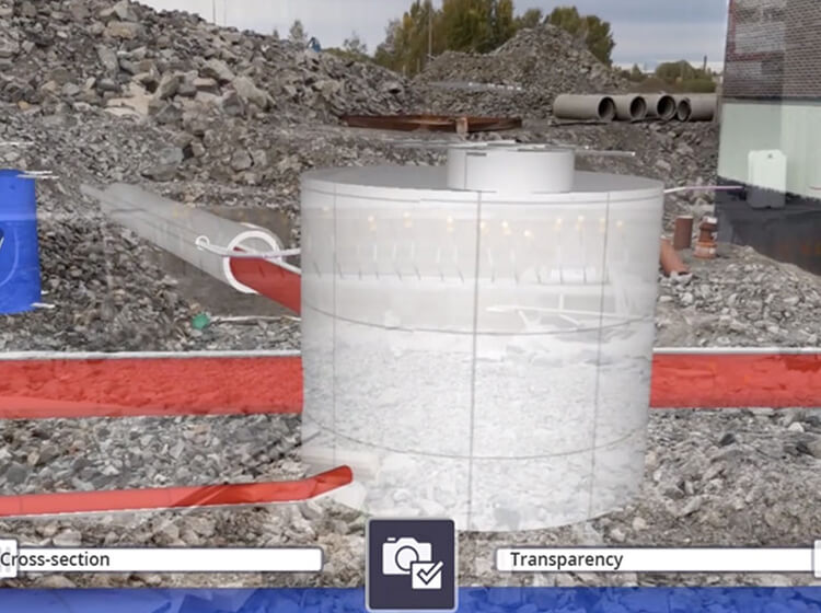
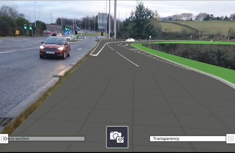
Visualization Tools
Selectively view every element of the constructible model from subgrade to finished surface, with all of the associated services using the layer viewing controls. Compare the designs with the current site by adjusting the transparency. Enable pit view for a better perspective of the depth-accurate subsurface look at utilities, in true 1:1 scale.
Cloud Connection
Your crew gets easy access to the latest approved design revision via Trimble Connect direct to your field device. Measurements and reporting are automatically sent back through Trimble Connect for simplified data management.
Reporting
Capture augmented reality photos, quick measurements and notes to create tasks, report on project status and request clarifications; and then share or assign them to project members, all in real time from the field.

In-field design
Measure points on site to create simple in-field designs of trenches, banks, haul roads, retention works or building pads. Visually check the proposed design on site, then upload to Trimble Earthworks to construct the surface. Surface designs are stored for reference in Trimble Connect and future use in Trimble Business Centre. Create and visualize concepts, from traffic management plans to machine positioning and reach, by placing and orienting SketchUp models on site.
Measure, record and inspect as-built
Check grade and earthworks progress. Measure stockpile volumes. Record the location of as-built services. Inspect completed works and record completed lengths and areas with visual checks. Use augmented reality images to create a record of time, locations and status against design to confirm completion for payment.
Tunneling Operations
Position tunnel designs underground using an accurately positioned network of QR Markers, to inspect tunnel lining and services.
See what our customers are saying with #TrimbleSiteVision

SiteVision integrates with all your existing tools
SiteVision integrates with data from Trimble Business Center, Autodesk Civil 3D®, OpenRoads, and Trimble Novapoint so you can use all your favorite 3D modeling software and office tools for visualization and client/contractor engagement.
See what you can do with Trimble SiteVision

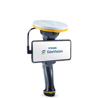
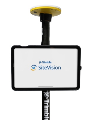
Trimble SiteVision
- High accuracy position and orientation
- Supports iOS or Android AR-capable smartphones and tablets
- Works with Trimble Business Centre data, Earthworks and Siteworks
- Remote electronic distance measurements*
- Trimble Connect Integration
*Applies only to iOS devices with LiDAR, or the Trimble SiteVision Integrated Positioning System with Android smartphones