
Accuracy with ease
Replace paint marks and 2D plans with visualizations from high-accuracy augmented reality enabled by Trimble Catalyst technology. With the tap of a button, information is displayed at scale and in context. Take measurements with the integrated distance measurement technology to verify information and fully understand the site.

Access at any moment
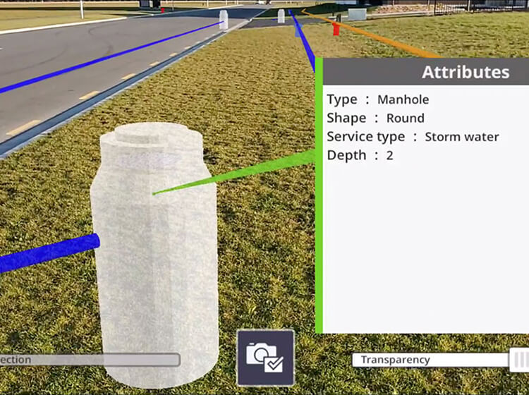
Whether it’s planning, inspection, collaboration or reporting, SiteVision enables users to quickly pull up data directly from GIS databases to view and share—no more searching plan sheets or drawings. If it’s in the model, the user can simply tap and view the attributes to confirm database integrity, improve safety and enhance awareness on-site.
Features that work for you
Data support
SiteVision supports 2D and 3D data from Esri® databases and digital elevation models, . and DWG, SKP, and .IFC data formats. Using SiteVision’s configurable rules engine, you can turn existing GIS data into easy-to-understand 3D models with attributes read directly from your GIS using the WFS interface.
Measure & Model Positioning
Make real-time calculations and quick decisions with confidence thanks to high-accuracy positioning and measurement tools. Check utility location offsets from property boundaries and occupation by measuring between the real world and the model with GNSS or EDM, or measure the distance between pipes, pylons or valves within your model.
Create concepts
Place models from the 3D Warehouse of Sketchup or your own and visualize concepts in the field. For example, see how EV stations will look like when placed in a parking lot.
Visualization Tools
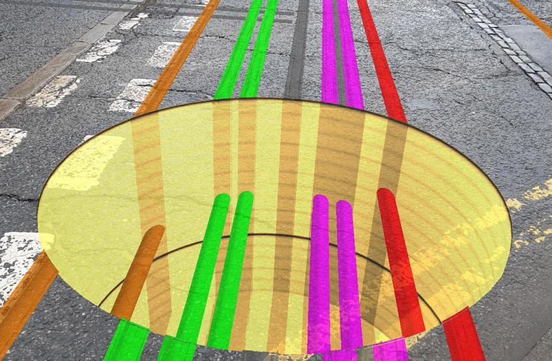
Understand and interact with subsurface utility data by using pit view. This enables you to isolate the view of your data in true 3D to compare, validate and plan work on-site by draping it on the ground’s surface and adjusting the diameter and transparency of the data within or outside of the pit.
Reporting
Take augmented reality photos and notes in the field, report errors, create tasks and assign them to project members back at the office, all in real time.
Plan Construction
Create the profile of a trench where you are going to place your pipes in the field, select the location where it is going to be dug and visualize the trench through your smartphone, then pass the design directly to the machines with Trimble Earthworks to excavate it.
See what our customers are saying with #TrimbleSiteVision

SiteVision integrates with all your existing tools
SiteVision integrates with data from Trimble’s Utility systems, including Trimble NIS for electric utilities, Trimble Unity for water utilities, and Trimble Business Center for utility construction, as well as your commonly used GIS systems like Esri’s® ArcGIS® so you can leverage all your utility management systems and favorite 3D modeling software for visualization for public and contractor engagement.
See what you can do with Trimble SiteVision

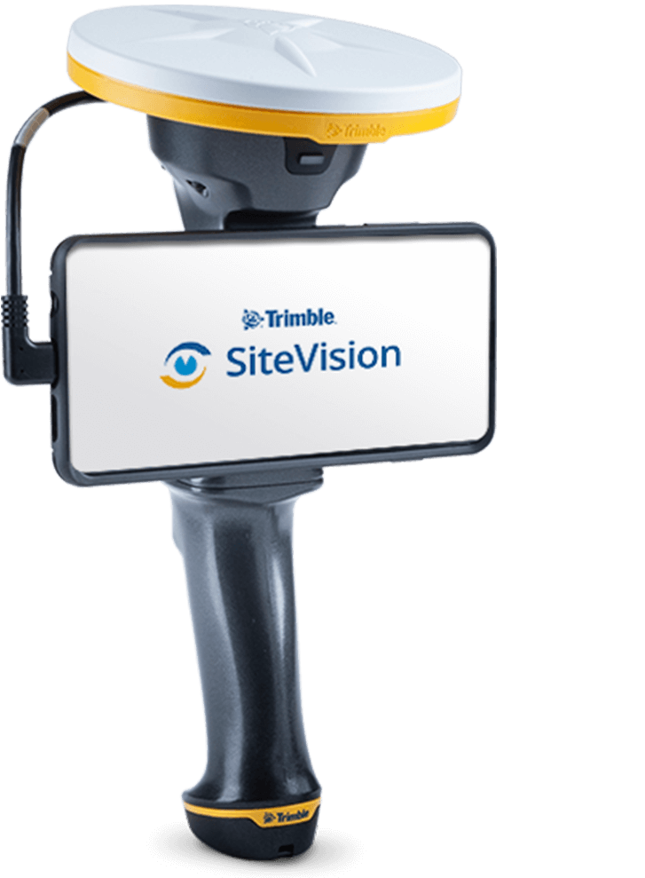
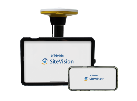
Trimble SiteVision
- High accuracy position and orientation
- Supports Supports shapefiles, geodatabases, web feature services, Autodesk® DWG™ and LandXML data
- Electronic Distance Measurements*
- Trimble Connect Integration
- Supports iOS or Android AR-capable smartphones and tablets
*Applies only to iOS devices with LiDAR, or the Trimble SiteVision Integrated Positioning System with Android smartphones